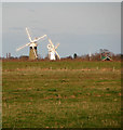
St Benet's Level, Horning
#2196
Search:
Google images eBay wikipedia YouTube

(
52.68519,
1.54869)
Map/aerial photo of the area around the mill
Tower mill function:Drainage mill

St Benet's Level, Horning, 2/2/08
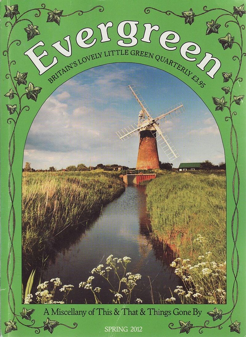
Evergreen magazine cover showing St Benet's drainage mill, issue Spring 2012
Evergreen magazine
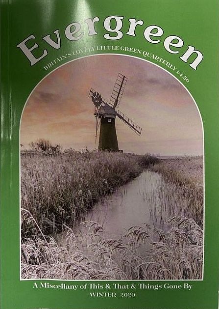
Evergreen magazine cover showing St Benet's drainage mill, issue Winter 2020
Evergreen magazine
Entry in Mills Archive database -
#2196 - St Benet's Level Mill, Horning
Geograph images are licenced under a Creative Commons Attribution-Share Alike licence
Flickr images are copyright their individual photographers.
Images from Historic England - hover over image to see copyright info, and to enable zoom
Horning, North Norfolk, Norfolk
6 Oct 1999 - Photograph (Digital)


