South Luffenham
#1545
Search:
Google images eBay wikipedia YouTube

(
52.61231,
-0.6028)
Map/aerial photo of the area around the mill
Tower mill function:Corn mill
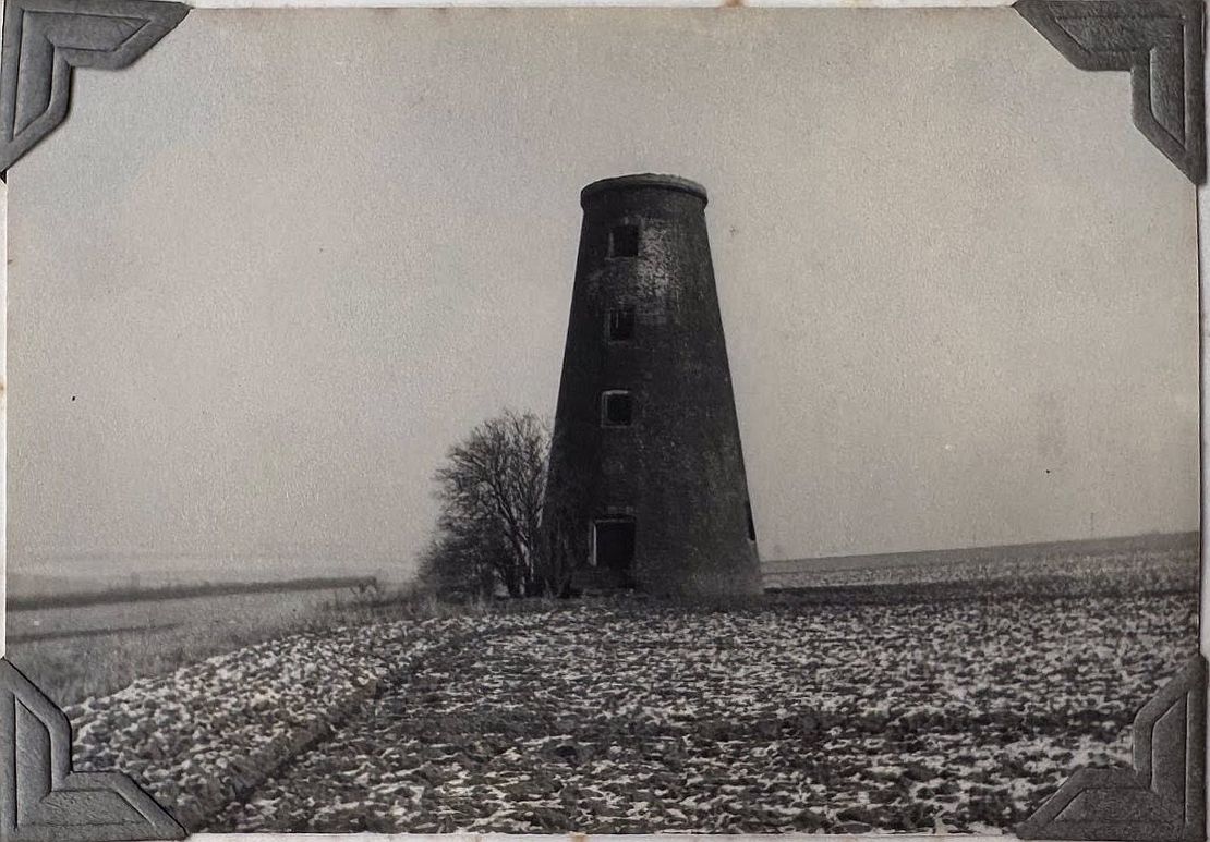
Tower mill, South Luffenham, Rutland, Dec 35
From a collection owned by Jan Smith
[
info]
Entry in Mills Archive database -
#1545 - Tower mill, South Luffenham
[
PastScape]

Former windmill and disused station between North and South Luffenham
[2008-08-21]
Simon Huguet

(2) Geograph images are licenced under a Creative Commons Attribution-Share Alike licence
Flickr images are copyright their individual photographers.
Images from Historic England - hover over image to see copyright info, and to enable zoom
Station Road, South Luffenham, Rutland
3 Mar 2007 - Photograph (Digital)

