
Search: Google images eBay wikipedia YouTube
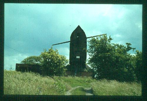
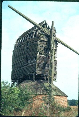
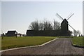
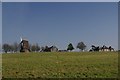
Six Mile Bottom Mill:
post mill
function:Corn mill
-


Entry in Mills Archive database - #2391 - Six Mile Bottom Mill, Burrough Green
It was moved from Borough Green c 1815 Waterless Bottom.


 (colour slide)
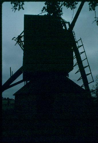
 (colour slide)
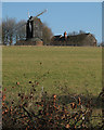
 (colour slide)
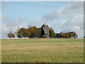
 (colour slide)
 (colour slide)
 (colour slide)
 (colour slide)
| International Mill Database Entry | |
|---|---|
| name | |
| id | 48021 |
| description | |
| drive power recent | |
| drive type recent | |
| mill type | |
| special construction | |
| function type | |
| condition type | |
| map location | 52.199,0.3225 |
| country | |
| state | |
| county | |
| city | |
| zip | |
| logo detail | |
| sails | |
| Last generated 30/06/2026 | Text and images © Mark Berry, 1997-2026 - |
 (
(

