Search:
Google images eBay wikipedia YouTube

(
52.79203,
-2.3592)
Map/aerial photo of the area around the mill
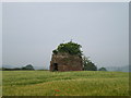
tower mill
function:Corn mill
- incorporated into a monument/folly c1780, now ruined
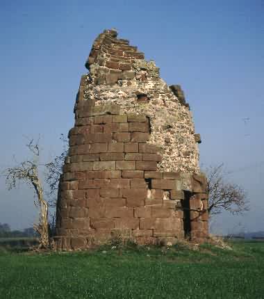
Forton, c2002 © Mike Matthews
[
info]
[
info]
Entry in Mills Archive database -
#1263 - Tower mill, Forton
(2) Geograph images are licenced under a Creative Commons Attribution-Share Alike licence
Flickr images are copyright their individual photographers.


