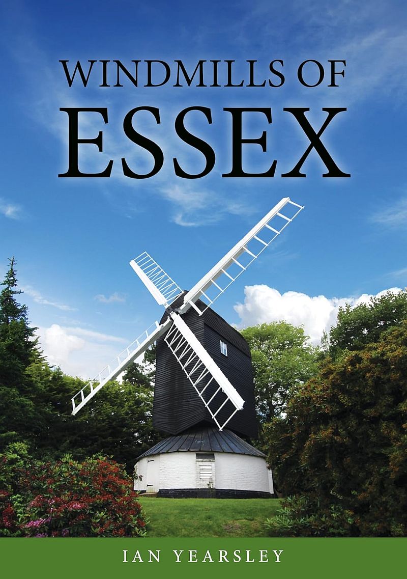
Fryerning post mill, on the cover of Ian Yearsley's book, Windmills of Essex, published April 2026
Ian Yearsley
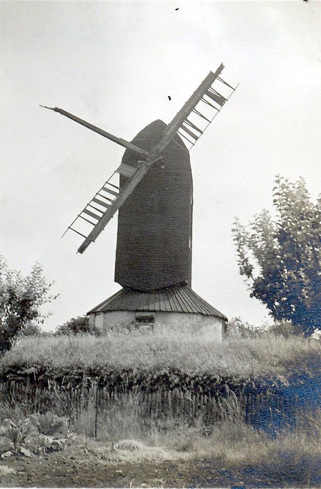
Ingatestone,
,
© Alan Caston collection
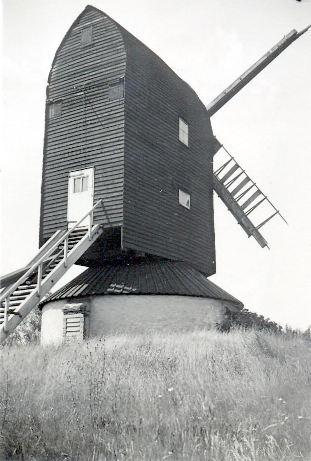
Ingatestone,
,
© Alan Caston collection
Mill Green post millPhotos: (1) Farries 2 (a) disused with 2 sails, 1938 (b) post, quarterbars and sheers, 1960 (c) new crown-tree being lowered onto old post during renovation in 1959 (d) tail wheel and tailbeam, 1959 (e) brake wheel and tailwheel, 1959 (f) rebuilding nearing completion, 1959 (2) Farries 4 (a) disused with 2 sails, 1938 (3) NMR (a) derelict, before repairs of 1959-60 (b) in fair condition, June 1932 (4) UOK (MC) (a) disused with 2 sails, 1938 (5) ERO (a) derelict with part of one sail, just before restoration of 1950s (b) in 1930s, as Farries (c-d) as preserved (6) RL (a) in good condition with four sail frames - after rebuilding? Date unknown - 1960s? (7) TC (a-e) derelict with 3 and a half sails (f-g) ditto, middle distance (8) Turpin (a) as preserved (9) Essex Mills Group Newsletter August 1992 (a) as preserved (10) ERO (FC) (a) new roof framing under construction on ground (b) windshaft and brakewheel in course of assembly (c) new sail under construction (d) view of old framing showing decay (e) old roof in course of dismantling; windshaft and brakewheel still on (f) derelict, no sails: scaffolding being erected around mill prior to dismantling (g) new crowntree standing against roundhouse walls; part of trestle visible (h) almost complete: body of mill reboarded, roundhouse roof still missing, scaffolding taken down (i) ditto, except scaffolding still up (j) before dismantling, body surrounded by scaffolding (k) new body on and boarded but roof not yet fitted: windshaft, brakewheel and tailwheel exposed (l) old body still on but weatherboarding stripped off and roof nearly all dismantled (m) new framing on ground prior to fitting (n-o) exposed brakewheel and tailwheel (p) w/o (poor view, retouched) (q) early to mid-C20: disused with one sail broken off short and shutters in disarray (r-s) derelict with no sails, just prior to dismantling for rebuilding, late 1950s (t+) various other photographs too numerous to list, all showing restoration and rebuilding of mill in 1959-61
Images from Historic England - hover over image to see copyright info, and to enable zoom
Mill Green Windmill, Mill Green Road, Ingatestone And Fryerning, Brentwood, Essex, CM4 0HZ
8 Sep 1999 - Photograph (Digital)

 (
(
