
Search: Google images eBay wikipedia YouTube
NGR: TQ312827Tower mill function:Pumping mill/wheel
-
| opening times | charges | website | notes |
|---|---|---|---|
From 5th June 2026: Wed to Sun 10:00-17:00Please verify before visiting |
Entry charge is £15 for most exhibitions, but windmill base may host free exhibitions | https://qbcentre.org.uk/ |
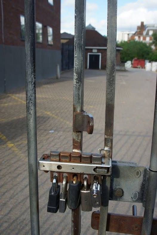
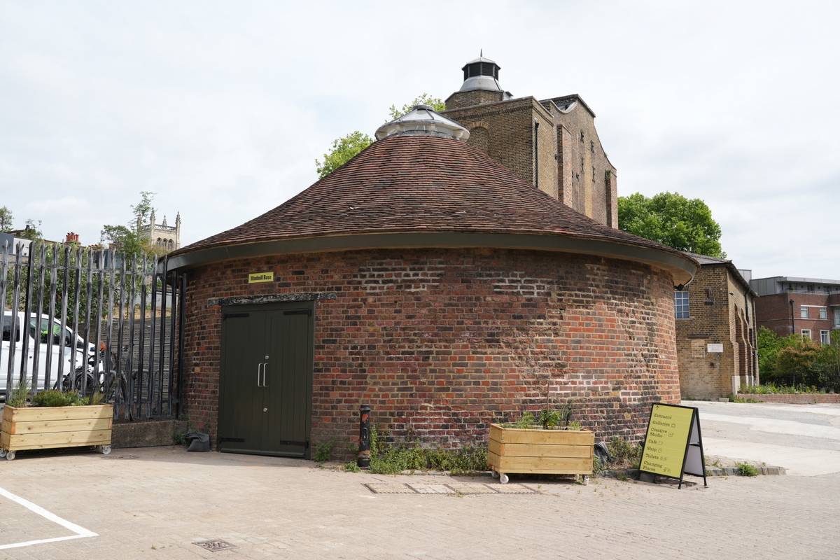
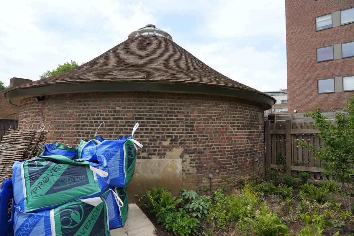
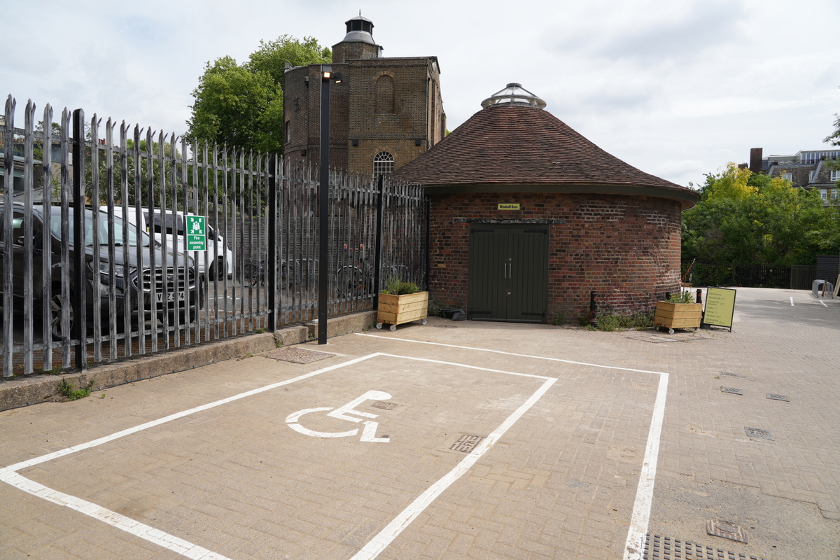
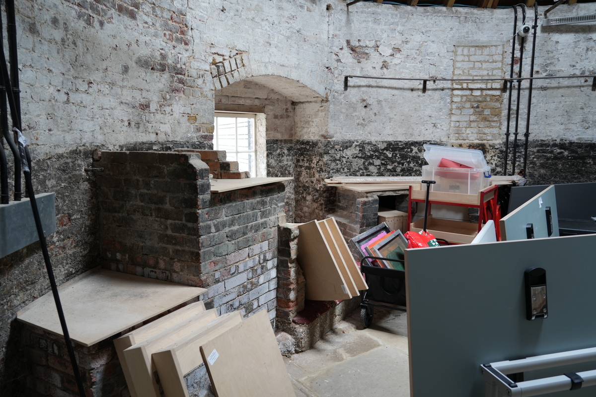
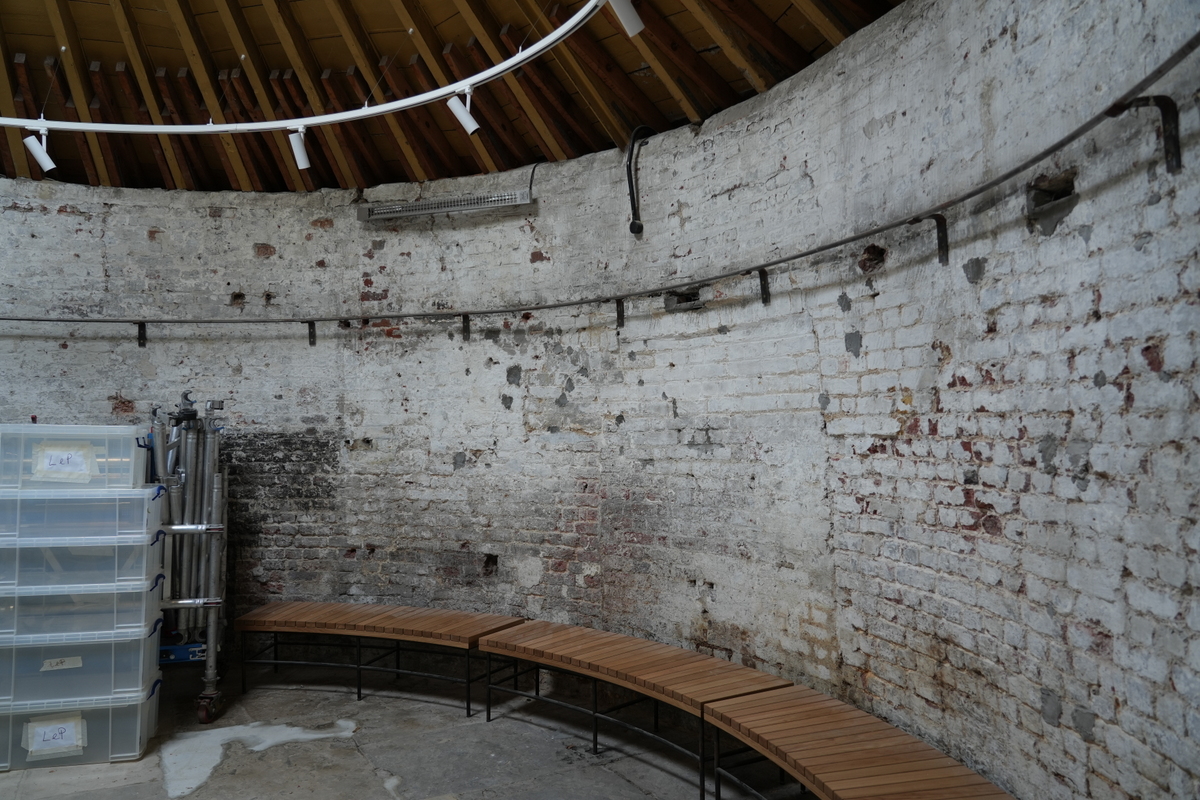
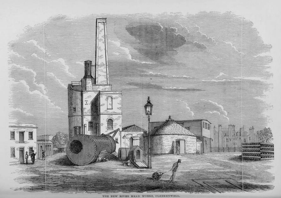
Built to pump water from The New River, but not very successful. Only worked for a few years, then replaced by a horse driven pump, and later by a steam driven one. In its long life as a redundant windmill, it was adapted in many ways so there's very little mill related evidence remaining in the truncated tower.
The Damage done by that sudden Storm is incredible, considering the Time it lasted : Several Houses in this City and suburbs are quite blown down; some have lost their Chimneys, others their Gable Ends, and most of them their Tiling. The great Windmill at Islington, which went with 6 Sails, erected for raising the New-River Water, was most of it blown down, and a Man said to be kill'd therein; as also Two more in Southwark. And the Damage done on the River is said to be far worse; but we have not yet learnt the Particulars.
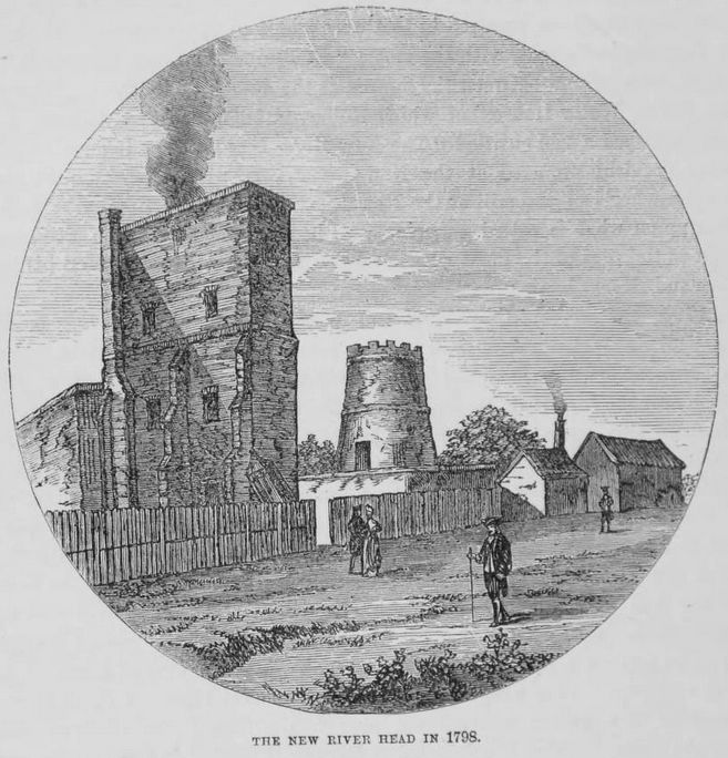
About 30 Years ago, there was a Wind mill erected near the New-River, between London and Islington, with six Wings, being the admirable Contrivance of that ingenious Architect Mr. Surrocole, in order to convey Water from the lower Ponds, through Pipes under Ground, to a new one made on the Top of the Hill, consisting of an Acre of Ground, which serves successfully to supply the great Increase of new Buildings of London, especially to the West-ward; but a sudden Gust of Wind, or rather a Whirlewind, blew it down about 20 Years ago: however it was soon restored: It was also on the 20th of November 1720, blown down again, by a terrible high Wind that then happened; but the Proprietors have not thought fit to put up the Sails again, but erected another Mill near it; both which are drawn by Horses.
In 1763 was published a tale entitled "The New River Head," 4to., London.
The following accident occurred at the New River Head:- "A young man was accidentally killed by one of the wheels of the mill at the New River Head, near Islington. He went in to view the mill, and got up on what is called the plank, without considering as he stood upright that his head was as high as the cogs of the great wheel. As soon as the mill went round his head was caught between the cogs and smashed to pieces."

Entry in Mills Archive database - #2618 - New River Head Mill, Clerkenwell (has photos)
[London Picture Archive] [London Picture Archive] [London Picture Archive] [London Picture Archive] [London Picture Archive] [London Picture Archive] [London Picture Archive] [London Picture Archive] [London Picture Archive] [London Picture Archive] [London Picture Archive] [London Picture Archive] [London Picture Archive] [London Picture Archive] [London Picture Archive] [London Picture Archive] [London Picture Archive] [PastScape]The mill, designed by engineer George Sorocold in 1707, was worked by both horse and wind power. It pumped water from the New River to nearby houses. In 1720 the sails were blown off and the mill thereafter was worked only by horse power. By the early 19th century only the base remained.
 A NEW AND EXACT PROSPECT OF THE NORTH SIDE OF THE CITY OF LONDON taken from the upper Pond near Islington
 A North View of London
 New River Head
 A View of the New River Head
| Last generated 25/06/2026 | Text and images © Mark Berry, 1997-2026 - |
 (
(


